We deploy a sophisticated ecosystem of hardware designed to capture reality with surgical precision—from wireless handheld mapping to survey-grade terrestrial scanning.
We invest in best-in-class scanning technology to ensure the digital truth of your project site.
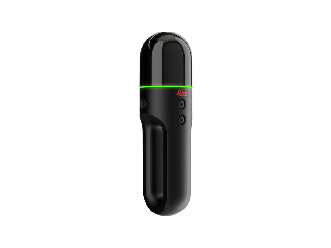
Wireless handheld imaging laser scanner that captures 3D environments in real-time as you move through space.
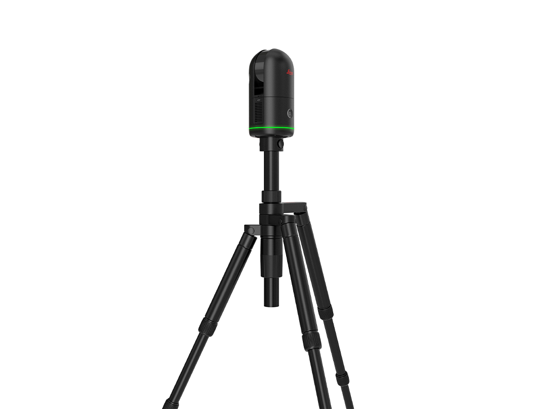
High-speed imaging laser scanner for rapid 3D capture with professional-grade HDR imagery.
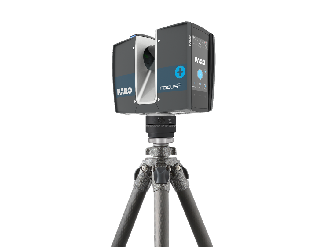
Long-range terrestrial scanner designed for extremely detailed documentation of facades and industrial sites.
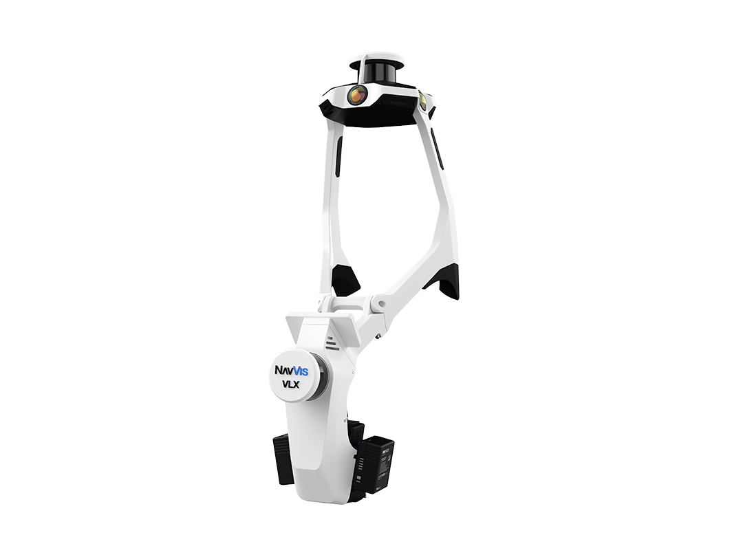
Wearable mobile mapping system for lightning-fast capture of massive floor plates and complex indoor spaces.
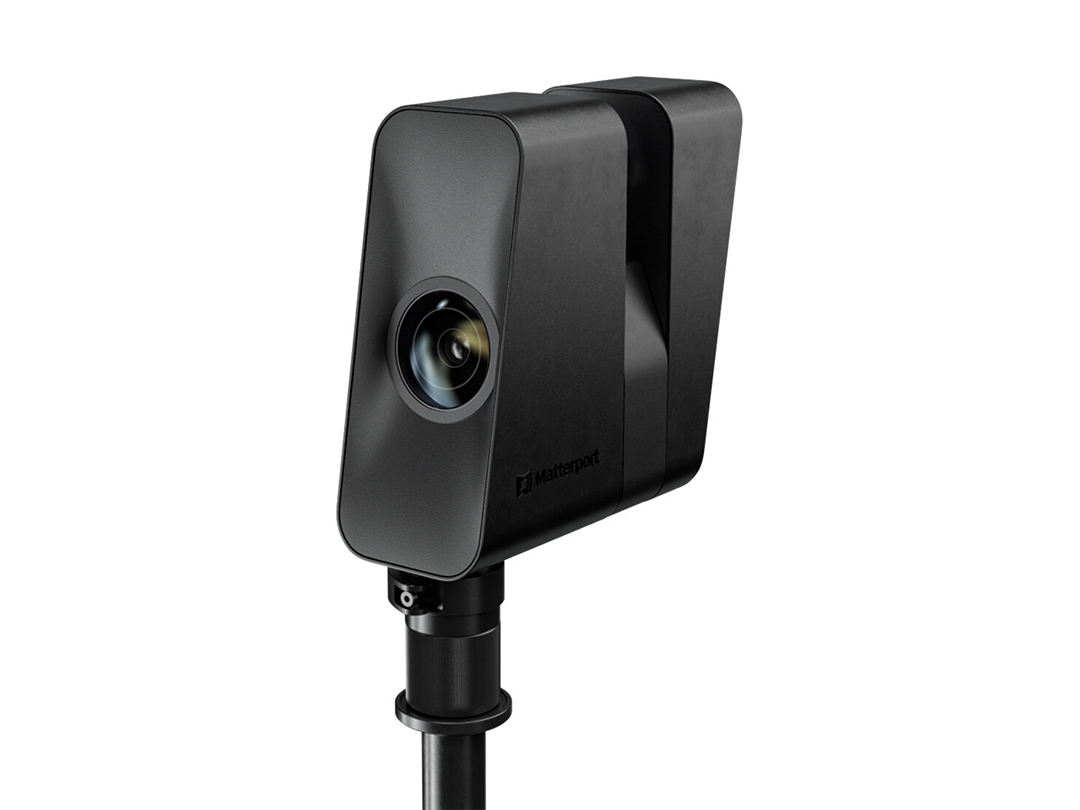
Advanced 3D camera for creating immersive digital twins and high-resolution marketing walkthroughs.
Let’s discuss how our technical expertise can streamline your next project and empower your team.
Start a Conversation